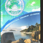
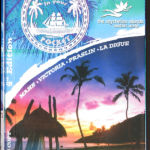
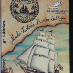
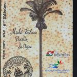
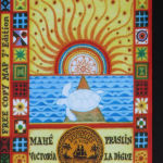
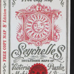
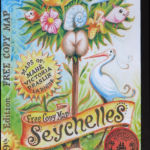
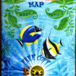
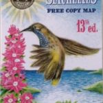
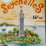
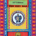
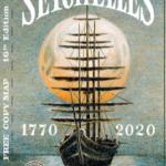
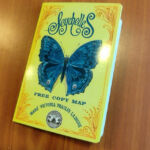
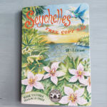
P
O
C
K
E
T
M
A
P
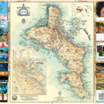
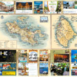
WILL INDICATE TO YOU ALL THE PLACES AND SITES THAT YOU WANT TO VISIT WHILST IN SEYCHELLES; MUSEUMS, ART GALLERIES, NATURE TRAILS, WATER SPORTS, BEACHES, SHOPS, RESTAURANTS, ETC …
It is an indispensable tool for you to have during your visit to the Seychelles, so that you are very well informed at all times, thus optimising your most precious holiday time!
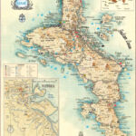
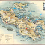
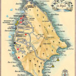
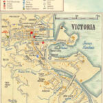
The Maps provide complete, accurate and recent details of all the most important places and interesting sites on Mahé, Praslin and La Digue and all their satellite islands, as well as in the capital, Victoria. The Maps are water-proof and when folded up, they neatly fit in an elegant, plasticized, cover, measuring 7.5 x 11 cm, making it most practical to carry about and consult them, as you visit these most exciting islands.
They also have a most useful “Help Card” with all the emergency numbers in Seychelles and also where the visitor can insert all his/her personal details, including his/her blood group, allergies and any other medical conditions.
Click on the maps below to view them larger
150,000 copies of the Map are produced annually and these are distributed free
of charge abroad by various tour operators, travel agencies, diplomatic missions amongst others and locally by hotels, boutiques, car hires, helicopter operators, boats operators and many more.
The Seychelles Tourist Board (STB) distributes the Maps to all visitors arriving in Seychelles, even before they pass the Immigration desk and through their offices both locally and abroad as well.
